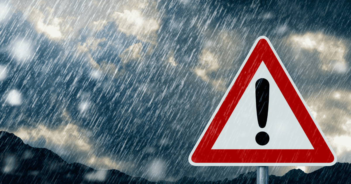
Hold onto your umbrellas, folks—Mother Nature’s throwing a tantrum, and South Africa’s in the splash zone. The South African Weather Service (SAWS) has issued a string of severe weather warnings across the country, covering everything from flash floods to runaway fires. If you were planning a picnic, maybe hold off.
KwaZulu-Natal: Wet and wild
Top of the list is an orange Level 6 warning for disruptive rain over the south-eastern parts of KwaZulu-Natal in eThekwini municipality. Translation: expect heavy downpours that could lead to flooding of roads and settlements, infrastructure damage, and mudslides. The rest of the province isn’t off the hook either, with a yellow Level 4 warning predicting severe thunderstorms. Think heavy rain, localised flooding, strong winds, excessive lightning, and a sprinkling of small hail for that extra zing.
Western and Northern Cape: Wind and fire
Meanwhile, the Western Cape is bracing for strong winds and waves, with a yellow Level 4 warning in effect between Saldanha Bay and Plettenberg Bay. Strong south-easterly winds (50-90km/h) are set to whip through the province, peaking on Thursday night and lasting until Friday. Batten down those patio furniture sets!
These conditions could make sea navigation tricky, so maybe postpone that fishing trip. On land, both the Western and Northern Cape are on high alert for extremely high fire danger conditions. So, let’s keep the braais under control, shall we?
Other provinces: Thunderstruck
The stormy mood extends to the south-eastern parts of the Northern Cape, southern Free State, areas along the Lesotho borders, eastern North West, Gauteng, southern Limpopo, and most of Mpumalanga. A yellow Level 2 warning is in place for severe thunderstorms, which could bring heavy downpours, localised flooding, strong winds, excessive lightning, and small hail.
What do the SAWS colour-coded warnings mean?
SAWS uses a colour-coded system to convey the severity and likelihood of weather-related impacts:
🟡 Yellow =Moderate risk (Be aware and cautious)
🟠 Orange = High risk (Expect serious impact)
🔴 Red = Extreme risk (Basically, batten down the hatches)
Numbers next to the colour (1-10) tell us how likely the impact is. The higher the number, the greater the chance of disruption.
With such a mixed bag of weather woes, it’s crucial to stay updated. Keep an eye on SAWS updates and follow local advisories. Remember, folks, it’s better to be safe and dry than sorry and soaked.