The weather is actually worth talking – or perhaps, wailing – about this week.
🔹Over the past few days, the Western Cape has experienced a rollercoaster of wild weather that’s left communities drenched, windswept, and wondering if they somehow offended the weather gods.
🔹In Gauteng, temperatures dipped to a bone-chilling minus five degrees. Johannesburg residents are advised to prepare for icy weather throughout next week.
🔹In KwaZulu-Natal, severe wind warnings have residents in districts like uMgungundlovu and iLembe on edge. Wind speeds of up to 70 km/h pose a significant fire risk amidst dry conditions.
Quick explainer: The wild weather is primarily due to the arrival of multiple cold fronts from the South Atlantic. (Breaking news: It’s winter.) When cold air from the South Atlantic hits the warm air already here, it creates a lot of instability in the atmosphere. This means more clouds, more rain, and stronger winds. And while the mountains in the Western Cape are truly a spectacle to admire, they actually make the weather worse, causing even more intense precipitation, hence the flooding.
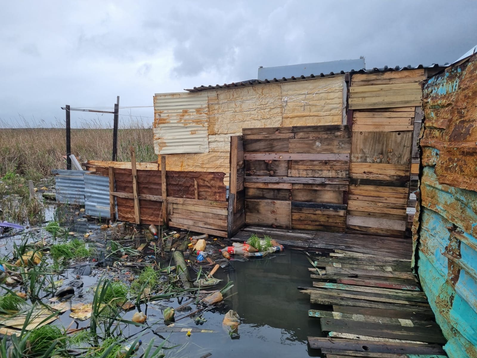
The Western Cape has been severely affected, with 15,000 impacted and up to 4,500 displaced.
Three weather stations across the Cape broke July rainfall records, with the village of Elim receiving its most rainfall in eight years, totalling 70.2mm— 20mm more than the previous record. SANParks closed various sections of Table Mountain Park due to flooding and actual snowfall, and schools across various districts were closed on Thursday.
Brace yourselves because the South African Weather Service is predicting more cold fronts across the country this weekend and heading into next week. Plus, a Level 8 weather warning (the highest is ten!) for disruptive rain leading to flooding and possible mudslides is still in place for the Western Cape. Stay safe out there. 🥶